
Portfolio Risk
Asset-level exposure analysis
We build risk intelligence platforms that help finance, insurance, and asset-focused teams assess physical climate exposure, review portfolios, support underwriting workflows, and generate decision-ready reports from geospatial and climate-risk data.
Asset-level exposure analysis

Underwriting and risk decision workflows

Geospatial hazard data and forward-looking risk insights
Financial institutions, insurers, asset owners, and risk teams need clearer systems for understanding how climate risk affects assets, portfolios, underwriting decisions, and long-term resilience planning.
We build platforms that connect asset metadata, hazard layers, climate models, historical weather data, and geospatial analysis into structured workflows for risk review, portfolio analysis, and decision-ready reporting.
We build systems that assess physical climate exposure at the asset, location, and portfolio level using geospatial, hazard, and climate data.

We design risk intelligence platforms that help teams move from fragmented climate and asset data to structured analysis, visual risk views, and decision-ready reporting.

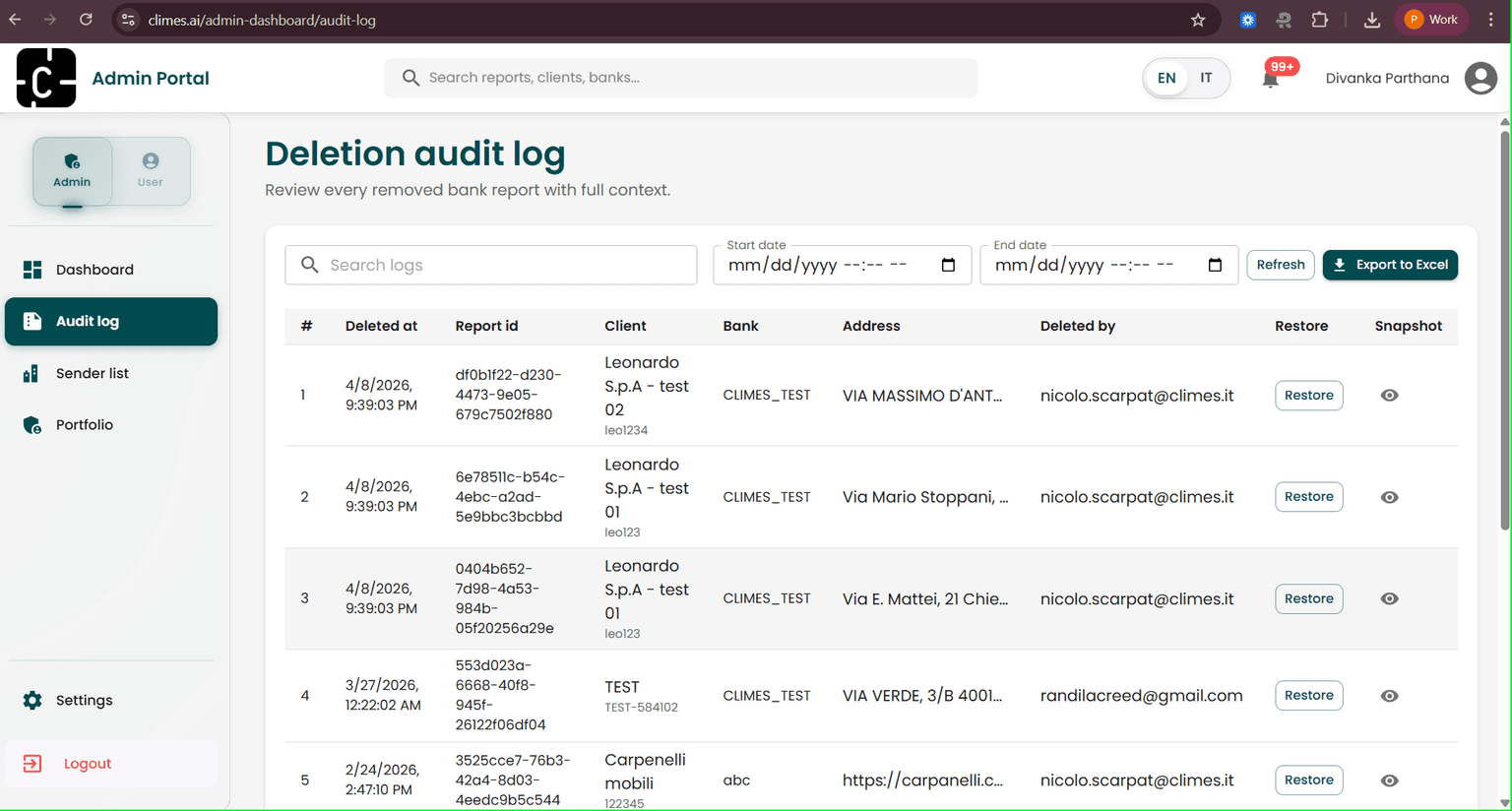
Create workflows that help insurance and risk teams review asset exposure, assess risk context, and support underwriting decisions.

Generate structured risk reports, maps, projections, and source-grounded outputs for disclosure, governance review, and resilience planning.
We build connected platforms that transform coordinates, asset metadata, hazard layers, climate projections, and historical weather data into actionable risk intelligence.

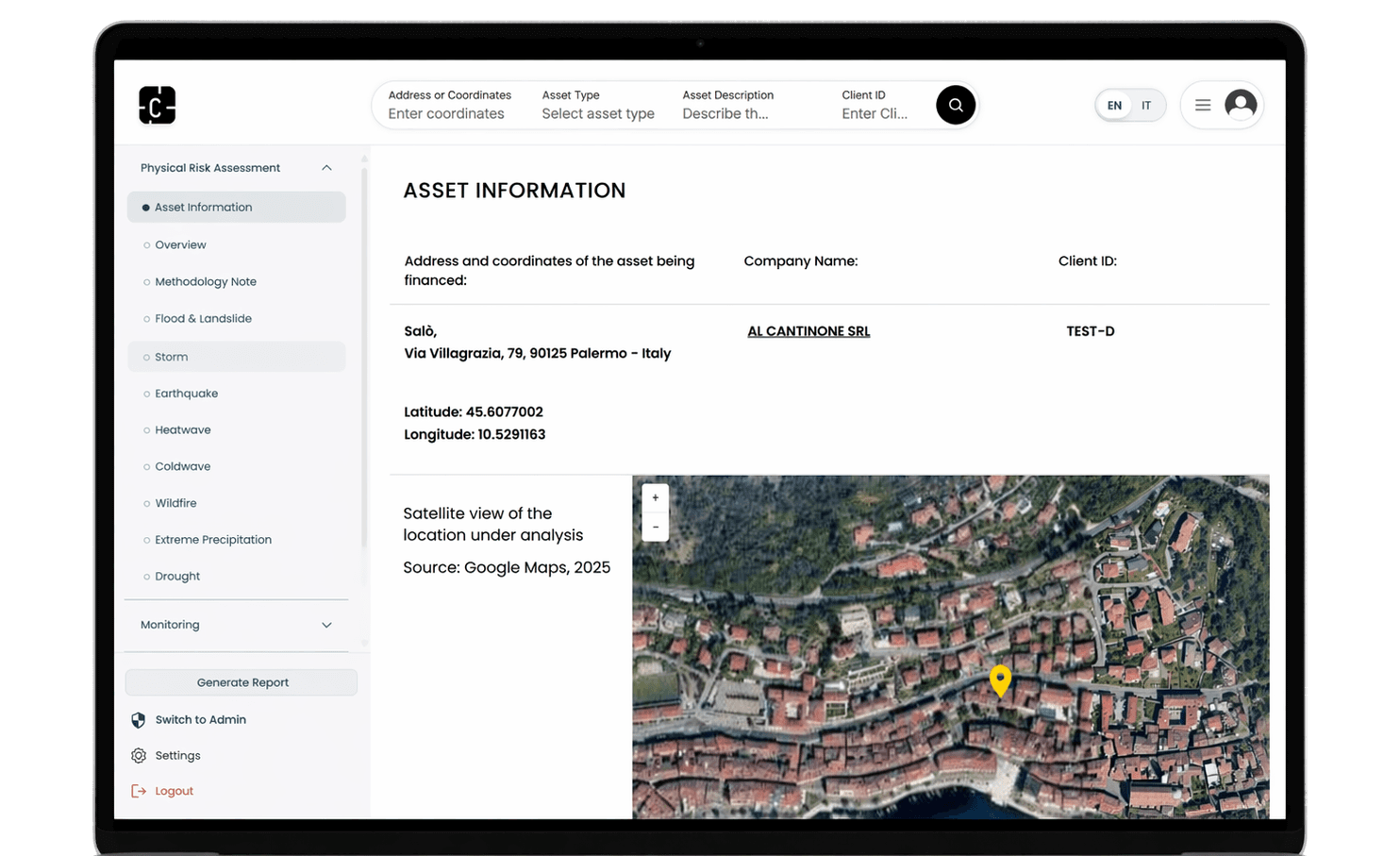
Capture asset coordinates, property details, portfolio context, and business metadata as the foundation for risk analysis.

Assess location-specific exposure across hazards such as flood, heat, drought, wildfire, storm, and landslide.

Support underwriting review, portfolio planning, disclosure workflows, and resilience strategy with source-grounded risk intelligence.

Connect hazard layers, climate projections, historical weather data, and geospatial sources into one structured data model.

Generate structured summaries, maps, risk narratives, and decision-ready outputs for review teams.
A risk intelligence platform for asset-level physical climate risk assessment, geospatial hazard mapping, AI-supported report generation, and forward-looking projections for 2030, 2040, and 2050.
Schedule a consultation to discuss climate-risk intelligence, asset-level exposure analysis, underwriting support, portfolio risk review, or decision-ready reporting.